Calydon by 2001-2005
In 2001 the Danish Institute commenced a large scale archaeological field project in ancient Kalydon in Aitolia. Kalydon is located around eight kilometres as the crow flies from Chalkis, on the west side of Mount Varassova in the direction of the present-day capital of Aitolia, Messolonghi. The project was directed by the Institute’s former director, Dr Søren Dietz in collaboration with Maria Stavropoulou-Gatsi and Ioannis Moschos from the ephorate in Patras. The project was later transferred to the new administration in Messolonghi with Maria Stavropoulou-Gatsi as ephor. The present excavations at Kalydon are a cooperation between the Institute and the 36th Ephorate of Classical Antiquities in Mesolonghi, and co-directed by the ephor Olympia Vikatou and former director of The Danish Institute, Rune Frederiksen.
Kalydon plays a considerable role in ancient mythology as described in Homer’s Iliad. For that reason, the important Sanctuary of Artemis Laphria outside the city walls and a so-called Heroon/palaestra were excavated by the Danish archaeologist Frederik Poulsen, the Greek archaeologist Konstantinos Rhomaios (for the Archaeological Society in Athens) and the architect Ejnar Dyggve, during the years 1926 to 1935. The new investigations are thus a continuation of an earlier Danish/Greek cooperation, this time with focus on the town itself.
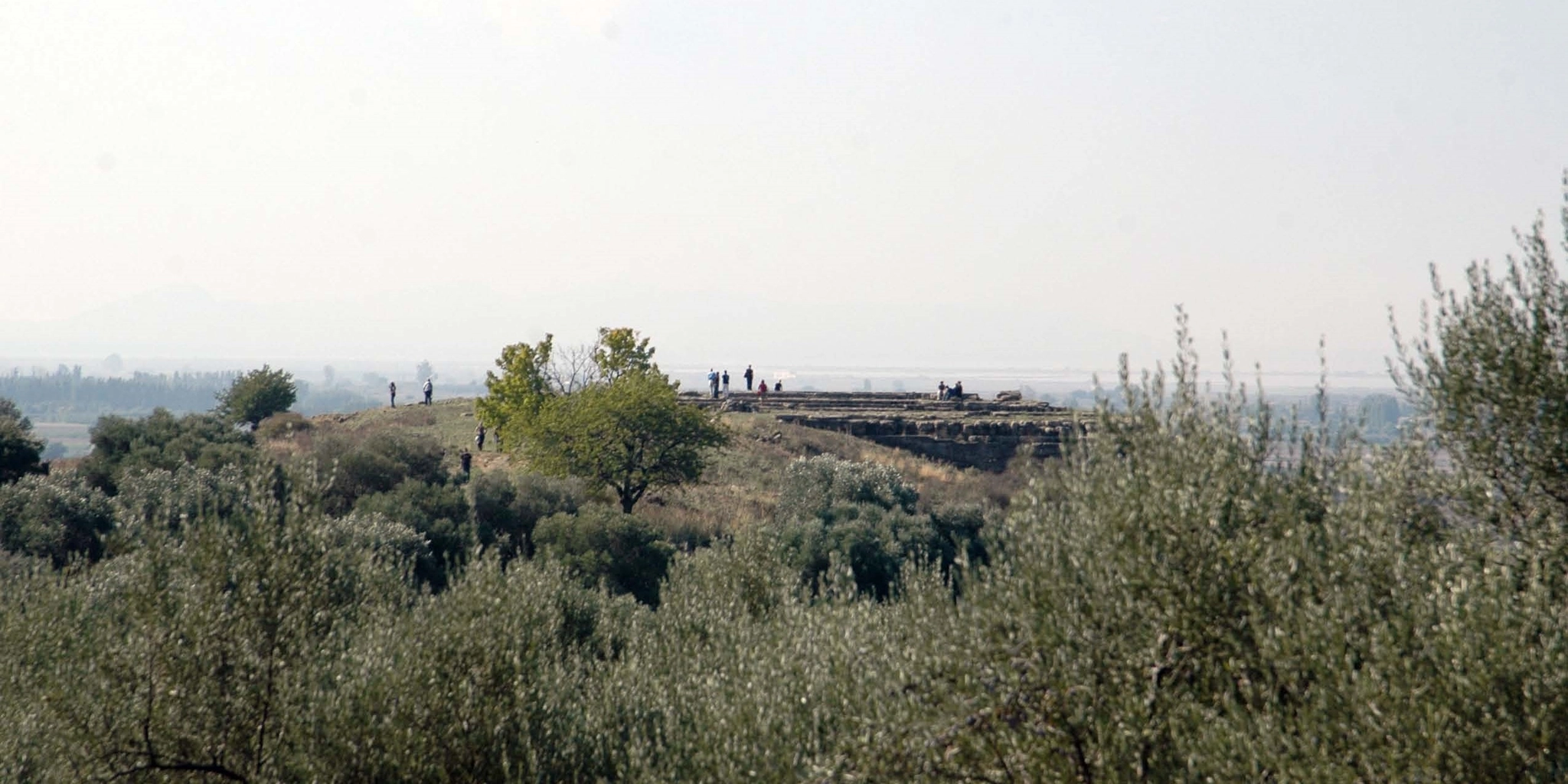
As early as the first year, however, a certain amount of resources were spent on the examination of an installation outside the city itself, a structure on the south slope of the Sanctuary of Artemis Laphria, which came to light in the wake of the construction of the national road in the 1960s and was preliminarily published as a Bouleuterion, or town hall. The excavations showed that the construction, at any rate in Hellenistic times, was a theatre with a rectangular orchestra, accommodating some 5000 spectators. Excavation of the structure was resumed as a cooperation from 2011 onwards.
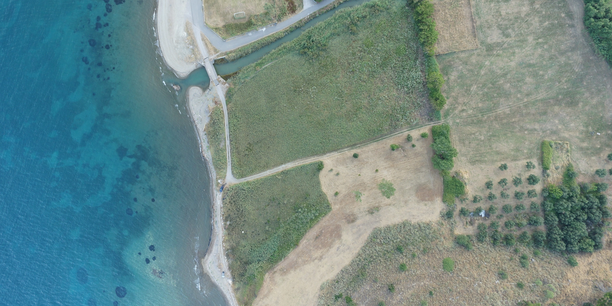
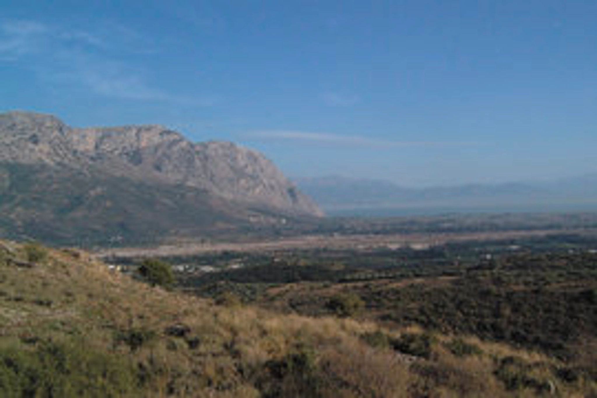
Various methods were used in order to examine the town itself. In the first year, a surveyor initiated the topographical measurements of the city, the fortification walls and the visible remains of terrace walls and buildings. The town inside the walls was surveyed by a team of students, who collected and counted the objects from the surface – pottery, tiles, metals, loom weights, etc. – while two Russian geophysicists carried out geomagnetic surveys during several campaigns, with excellent results. Finally, excavations concentrated on a peristyle building which was partly excavated, and a tile kiln situated in the so-called Lower Town. Larger sections of the remains on the Acropolis were excavated and a small-scale survey of the Central Town gave indications of the use of the habitation quarters. Geological surveys determined the position of the ancient coastline which appears to have been more than a hundred metres further out than today, and also established that today’s fertile land between the sea and the town was, in antiquity, occupied by lagoons.
The town within the walls comprised an area of approximately 35 ha (350,000 m2), of which ten percent is occupied by the Acropolis. The investigations gave a good picture of the town in antiquity and of the function of the various quarters. The most important building in the Lower Town was probably the peristyle building with its colonnade and courtyard where athletic games took place. In a room in one of the corners of the building, a cult of the Anatolian goddess Cybele was established. Findings of a marble sculpture, incense burners, clay figurines and lamps indicate the function of the room. The objects were found almost as they were left when the roof collapsed around the middle of the 1st century AD. On the Acropolis a shrine was already established by late Archaic times, in the late 6th century BC.
The field project was sponsored by the New Carlsberg Foundation and the Consul General Gösta Enboms Foundation. The publication was sponsored by the Carlsberg Foundation.
Området
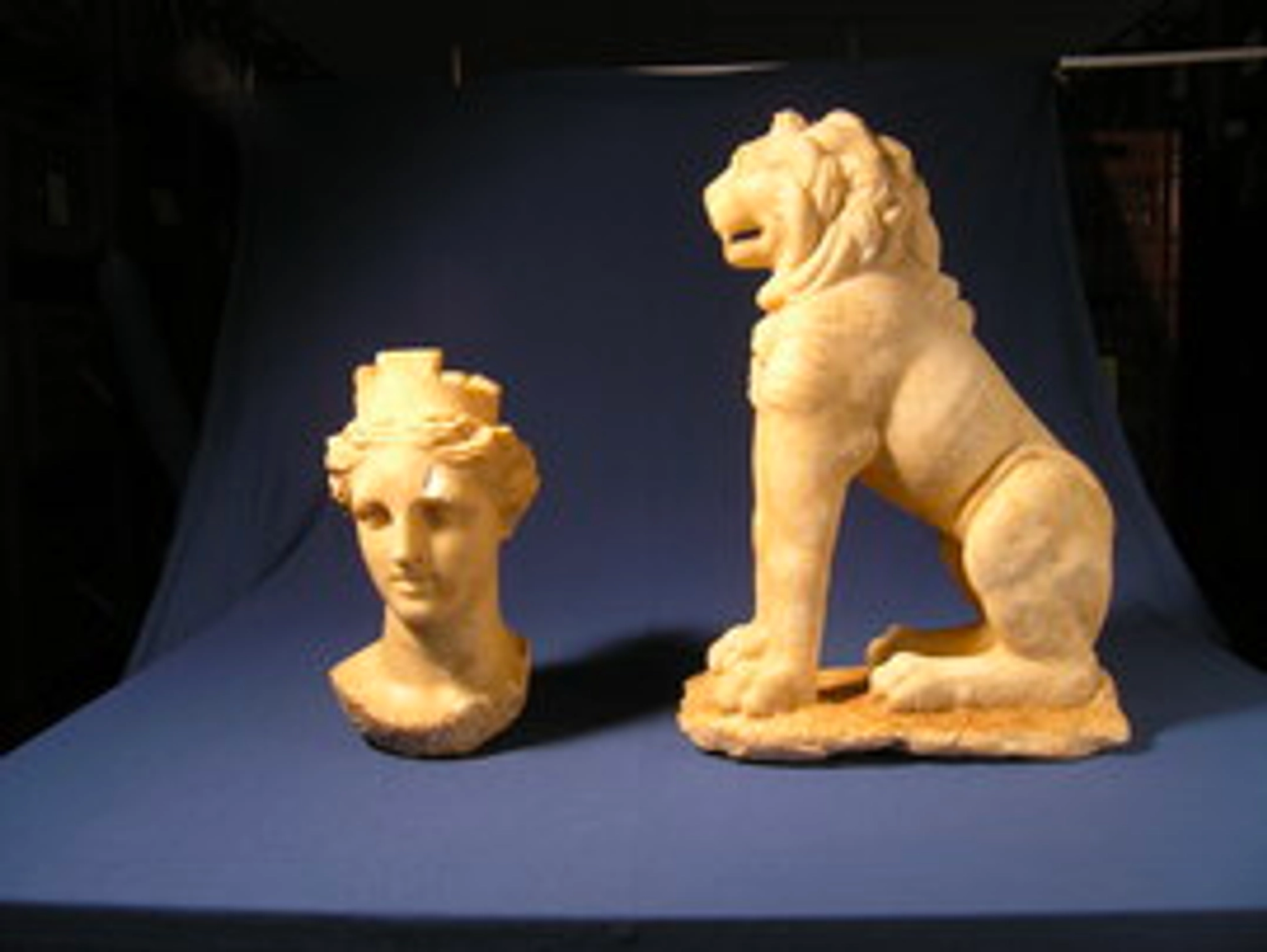
Marmorskulptur af den anatoliske gudinde Kybele og en løve
The Theatre at Calydon 2011-2014
The archaeological excavation of the ancient Greek theatre in Kalydon was completed between 2011 and 2014 through a collaborative project by the Danish Institute and the Ephorate of Antiquities of Aitoloakarnania and Lefkada. The fieldwork was led by the former ephor Dr. Olympia Vikatou, and Dr. Rune Frederiksen, former director of the Danish Institute (fig. 1). The theatre was originally discovered in 1967 during road construction, and a small part of the lower seat rows of the koilon was excavated by Euthemios Mastrokostas. Excavations were resumed between 2001 and 2003 by the former director of the Danish Institute, Dr. Søren Dietz, in collaboration with Lazaros Kolonas and Maria Stavropoulou-Gatzi.
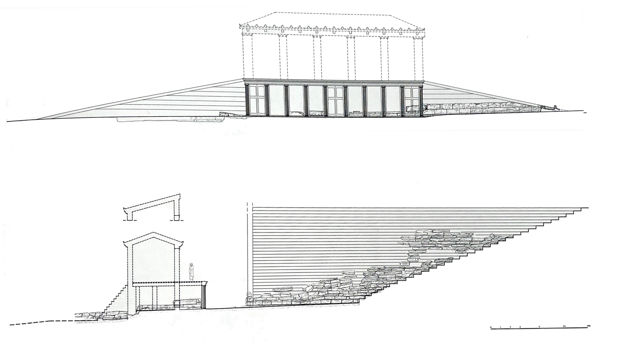
The koilon consists of 31 rows of seats, with the lower nine rows forming 90-degree angles at the corners, creating a square orchestra (fig. 2). This layout is unusual for ancient Greek theatres, which typically have circular orchestras and semicircular seating arrangements. The distinctive design of the koilon may indicate two different phases of construction. It is estimated that the theatre could seat around 5,600 people, which is significantly more than the city's estimated population. The scene-building consists of a two-story building in the back and a lower prosknion with ten Ionic-style pillars in front. On either side of the proskenion, ramps led up to the logeion (stage) (fig. 3).
Evidence from pottery found during the excavations strongly suggested that the scene-building was built sometime in the middle of the 3rd century BC. In terms of architectural design, this is consistent with the dates of other known monuments in the city. The excavations also revealed evidence that people had lived in or used the theatre for other purposes after it was no longer in use as a theatre. The theatre was eventually abandoned in the early 1st century BC.

Figure 1
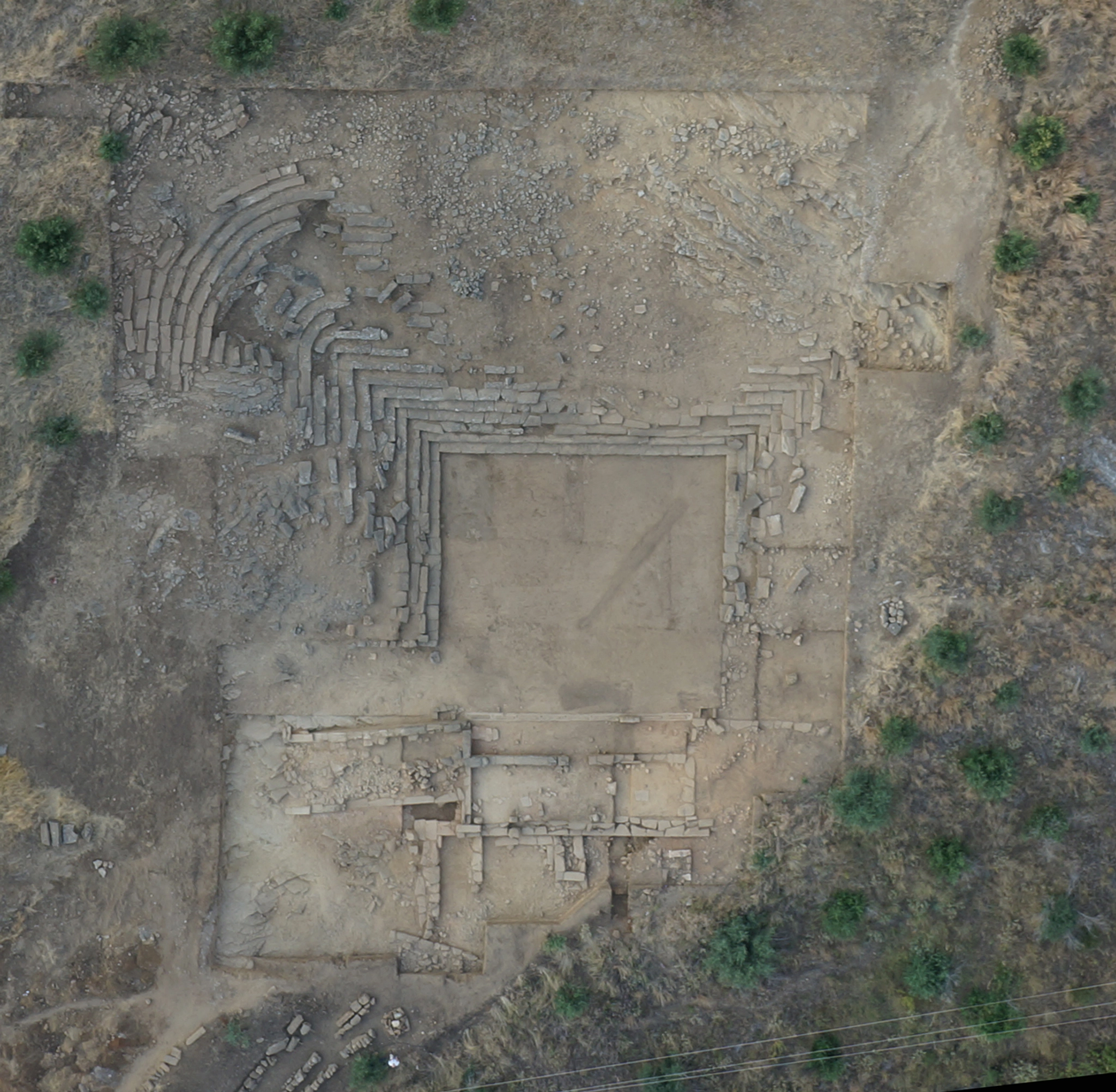
Figure 2.
Figure 3.
Akropolis-Laphrion 2013-
Since 2015, the Danish Institute and the Ephorate of Antiquities of Aitoloakarnania and Lefkada have continued the collaborative exploration of ancient Kalydon under the direction of Dr. Olympia Vikatou (ephor 2011-2024) and Dr. Søren Handberg from the University of Oslo. During this period, the fieldwork has primarily focused on new excavations on the city's acropolis, a topographical survey to document all visible heritage monuments, reinvestigations in the Artemis Laphria sanctuary and the Heroon immediately outside the city.
Excavations on the acropolis (2013-2016)
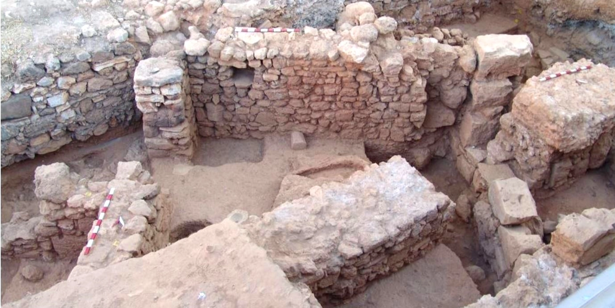
The excavations on the acropolis focused on the complete excavation of a private house dating to the Hellenistic period (3rd-1st centuries BC) and a smaller investigation of the acropolis fortification wall. The house, located on one of several terraces on the Lower Acropolis plateau that surrounds the Central Acropolis, consists of four rooms and an interior courtyard (fig. 1). A rectangular stone-lined hearth was located in a room in the northern part of the house, alongside a large ash deposit and cooking ware pottery. Among other features, the courtyard included two ovens and the stone foundations of a granary. A small part of the fill layers behind the fortification wall that runs around the Lower Acropolis was also excavated, yielding a large amount of pottery dating from the late 8th to early 5th centuries BC. This not only demonstrates that the acropolis was to a large extent inhabited (including metalurgical workshops) during the city's early years, but it also indicates that the fortification wall was built in the early 5th century BC.
Topographical survey (2015-2018)
This comprehensive and diachronic survey of ancient Kalydon documented and recorded all visible ancient heritage monuments on the archaeological site. The mapping and recording also entailed the creation of a new detailed topographical map of the ancient city (fig. 2). The survey covered an area of more than 634,080 square meters, including the entire fortified city and the sanctuary plateau to the west of the city, as well as significant areas outside the city walls that had never been recorded. The topographical map was created using a variety of survey techniques, including advanced digital surveying tools. A total of 777 individual monuments and features were recorded, including entire houses and streets, architectural elements from public buildings, ancient quarries, and tombs.
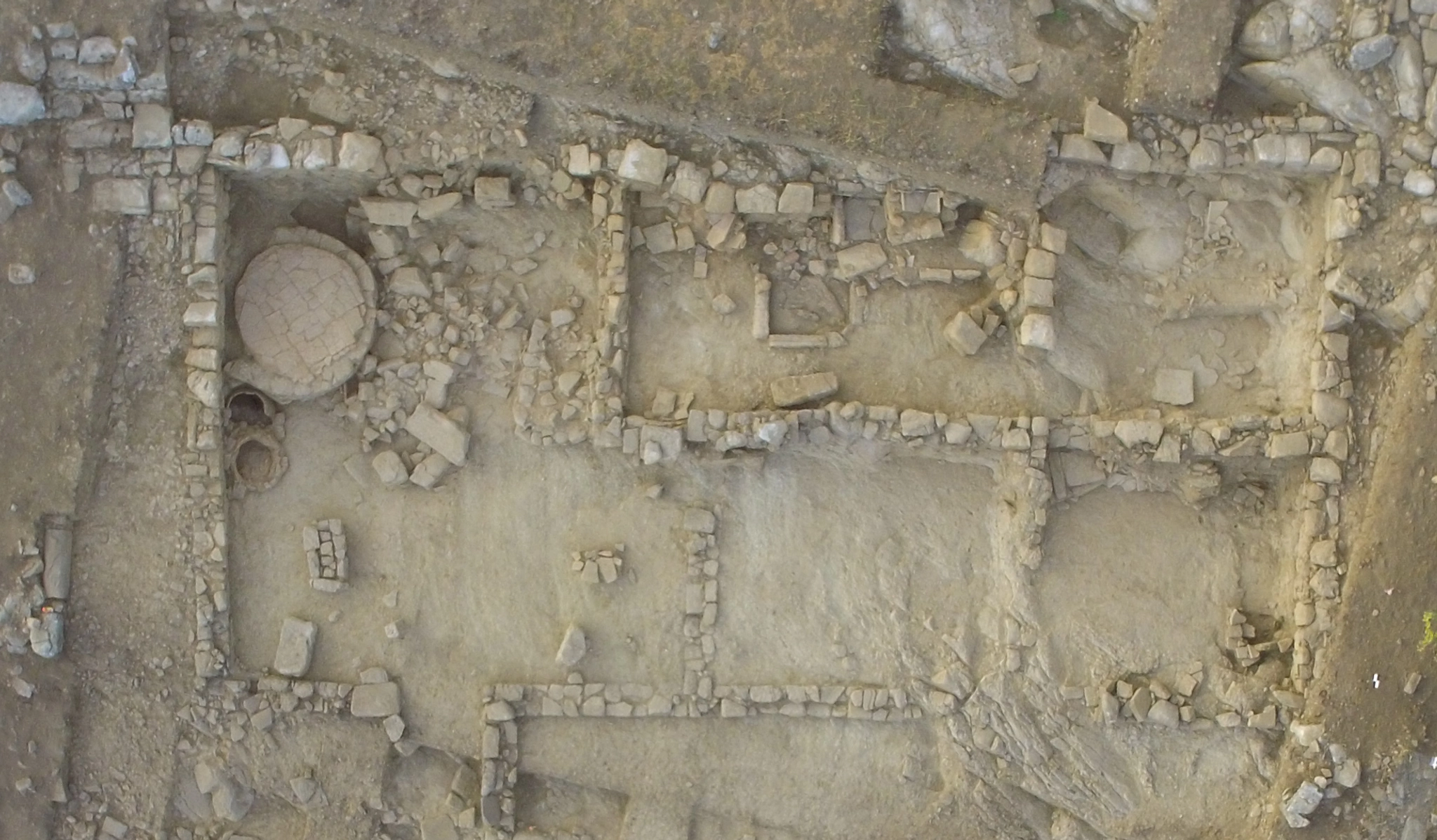
Figure 1. Arial photograph of the Hellenistic house on the acropolis (Photo: S. Handberg).

Figure 2. Map of the ancient city Kalydon (Ill. N. Michaelides, S. Handberg, S. Müth-Frederiksen)
Reinvestigation in the Artemis Laphria sanctuary and the Heroon (2020-2025)
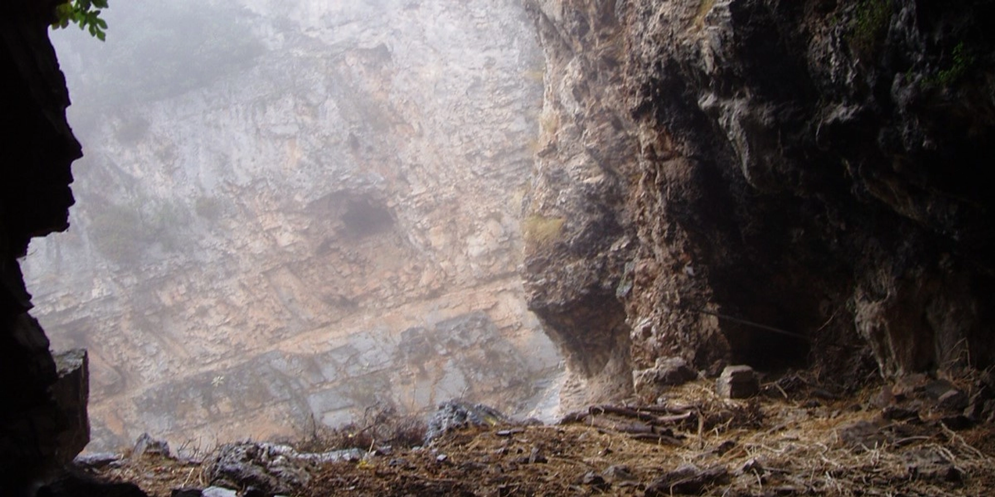
The project "Reinvestigating Kalydon's Laphrion Hill" revisits two major areas of exploration in the Greek-Danish excavations of the 1920s and 1930s: the Artemis Laphria sanctuary and the Heroon outside the city's West Gate (fig. 3-4). It entails a thorough re-investigation of the sanctuary's topography and historical development, including geophysical work, systematic archaeological excavations, digital documentation, and modern scientific analysis. A central concern for the project is to integrate nearly a century old legacy data with the results of new investigations using modern investigative methodologies.
The critical examination of previous assumptions and conclusions has resulted in changes in the dating and identification of key monuments within the sanctuary. For example, it is clear that, contrary to previous interpretations, the entrance to the sanctuary has not yet been identified. It is also clear that, despite extensive excavations in the 1920s and 1930s, significant areas of the sanctuary were not explored. New discoveries include a larger sacrificial deposit containing burnt animal bones dating to the archaic period (6th-7th centuries BCE), significant traces of Early-Middle Helladic presence at the site, and a general re-dating of the sanctuary's overall development. Small-scale excavations in the Heroon have led to a re-dating of the palaestra's construction and the discovery that renovations were carried out in the northern part of the building (fig. 4). The project also involves limited excavations of the soil dumps of the 1920s and 1930s excavations to address broader questions of sampling biases in the archaeological material.
The fieldwork has been financially supported by the Carlsberg Foundation and the Augustinus Foundation and is carried out in collaboration with the University of Copenhagen, Aarhus University, and the University of Oslo.
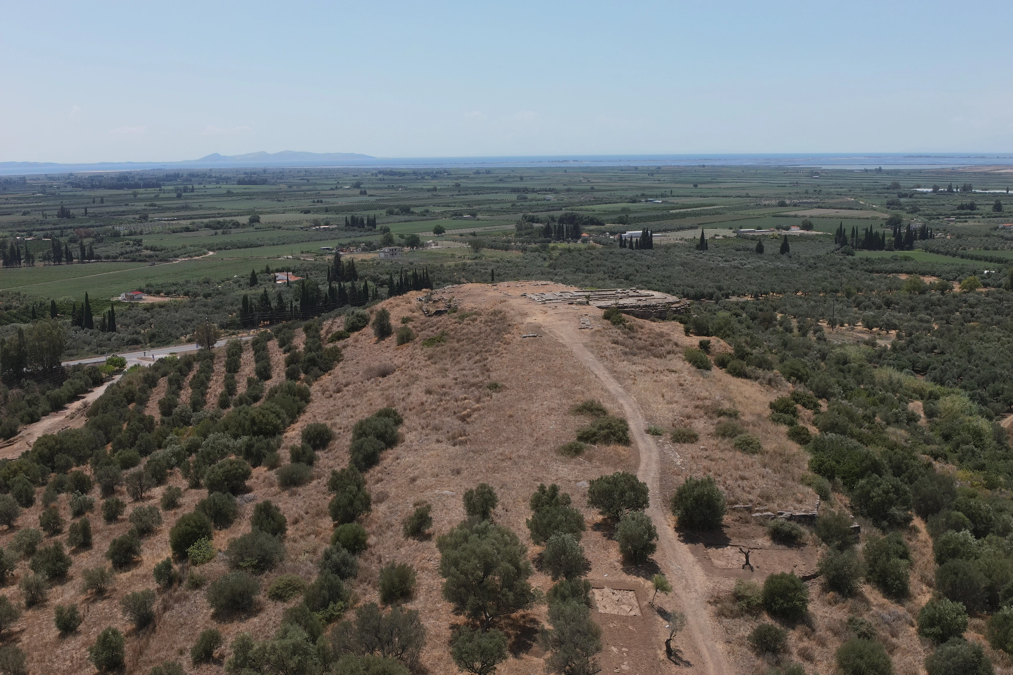
Figure 3. The southern part of the sanctuary on the Laphrion hill (Ill. N. Michaelides)
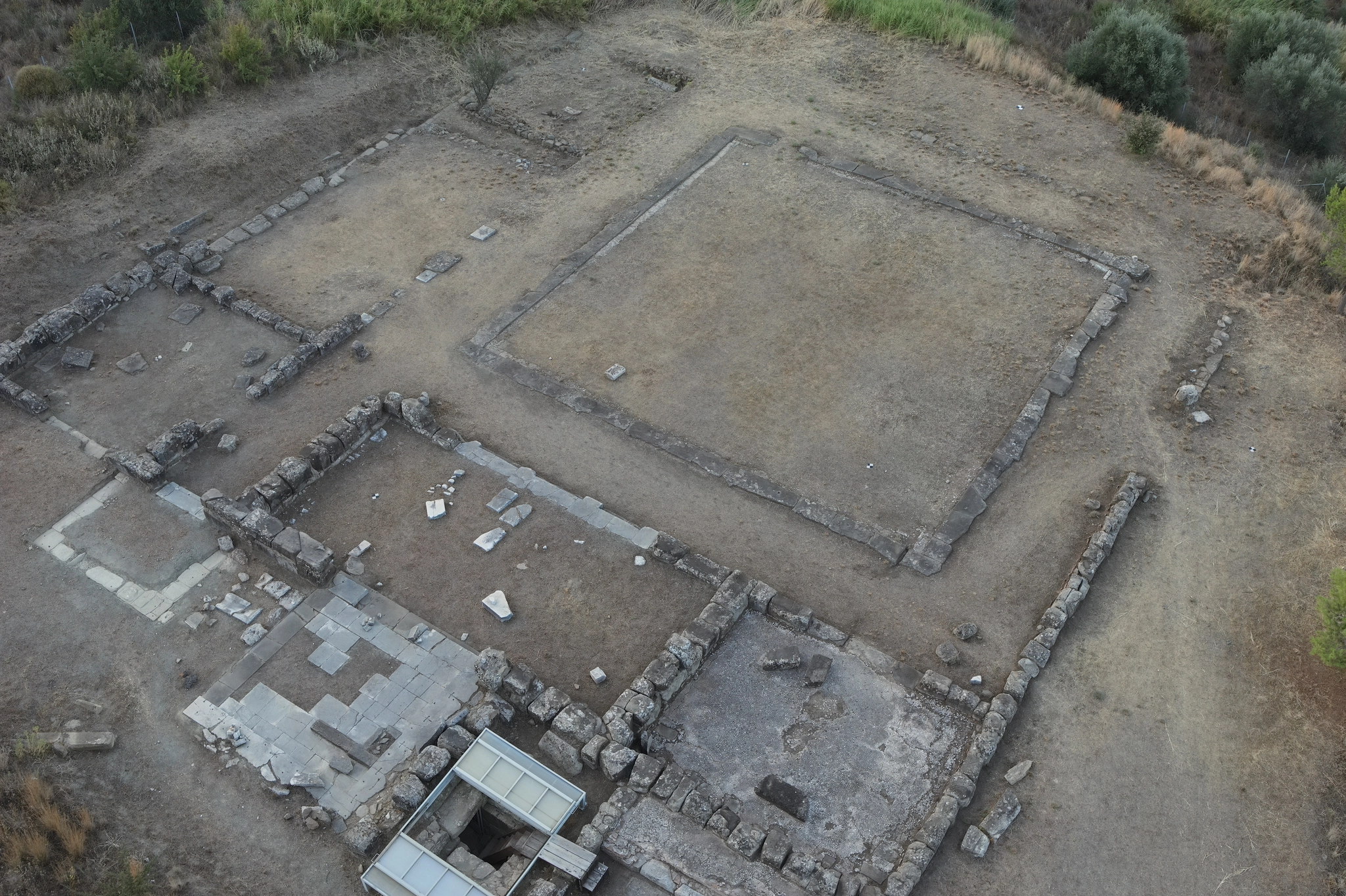
Figure 4. The Heroon building (Photo: N. Michaelides)